

‘Apne mian ko mat jaane do Col Kumar ke saath’
Had it not been for a German expedition wishing to go rafting on the Indus River in North-west India’s Ladakh region in 1975, this book would not have been written!

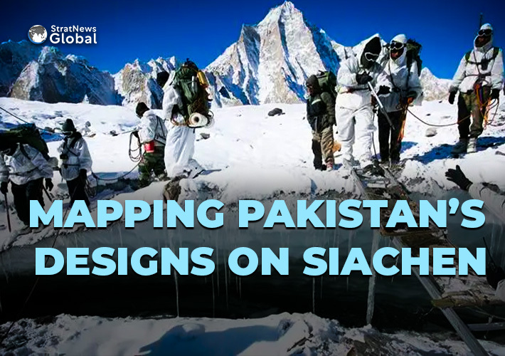
Thanks to that expedition, Col Narinder “Bull” Kumar, India’s most famous military mountaineer came in possession of maps that indicated ‘cartographic aggression’ by Pakistan on the Siachen Glacier and the quiet alteration to the map of the Karakoram Range of mountains!
One discovery led to another, resulting in India pre-empting a Pakistani military operation by launching its own in April 1984, triggering a standoff at Siachen, inarguably the world’s highest battlefield...Read More


